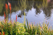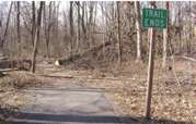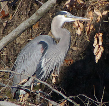
This Great Blue Heron was spotted
in Accotink Creek only a hundred feet from the Lake Accotink parking area
on the new Cross County Trail section south of Lake Accotink. The new route
is open and provides an excellent walk in a natural wooded setting. Click
on the picture to view the walk map and directions.
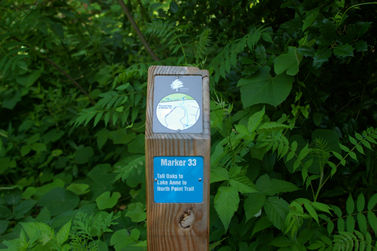
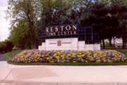
You may have seen trail markers
similar to this throughout Reston. Click on the picture to learn more about
the person that created the maps on these markers and a link to maps of
the complete trails.
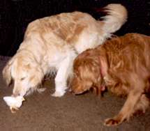
Getting to know you. Get to know some of the pets in Reston. Click on
the above picture.
New To This Area?
One of the
biggest problems for people new to the area is finding superior firms such
as plumbers or doctors. Consumer Reports helped to start a magazine called
Checkbook to assist you with this task. Subscribers rate the firms they do
business with so that others can benefit from their experience. Checkbook
rates firms just as Consumer Reports rates products. Click below for a link
to their websites.
Both sites charge a fee to view information. Free access to the information
is often provided at the local libraries.
This is
not an advertisement and no funds were exchanged for this recommendation.
Checkbook
Magazine
Comsumer Reports
TIPS
Perhaps you have been looking for software that will make
writing images to LightScribe DVDs easy. Click here
for a free answer to your problem.
I have published some other tips that may be helpful. Click
on Technical Contents for a listing.
Technical Contents
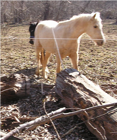
Reston is a high tech town but nearby we have miles of trails catering
to horses. This is an opportunity that you may not find elsewhere. If you
love to ride horses this is the place for you. Click on the picture to view
some of the activities that people who love horses enjoy.
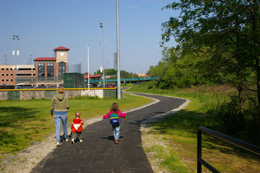
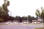
The Burke Centre Railroad Station and Parking Garage opened on June 2,
2008. Several new trails have been built to connect the station to the Woods
and Commons sections of Burke Centre. You may wish to consider walking rather
than driving to the station. Click on the picture to view a map of the area
and see how many walking minutes your home may be from the station.
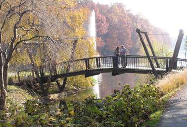
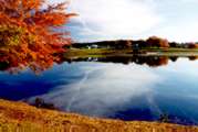
Lake Anne is a short walk with wonderful scenery. Click on the picture
to view the walk map and start walking while the weather is cool.
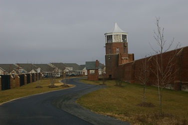
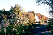
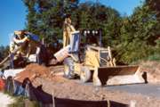
You may not have heard about Laurel Hill Park but major development is
under way there. This is a view of the Cross County Trail with a watchtower
in the former Lorton Prison on the right and homes in the gated Spring Hill
development for seniors on the left. This section of the trail has not been
officially opened yet but is quite walkable although no signs have been placed.
Click the picture to view a walk map, pictures and directions that will take
you through Laurel Hill Park.
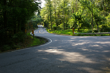 Improvements
are coming to parts of Old Courthouse Road. Click on the above picture to
see the present road near Wolf Trap Creek.
Improvements
are coming to parts of Old Courthouse Road. Click on the above picture to
see the present road near Wolf Trap Creek.
Reston Paths
Contents
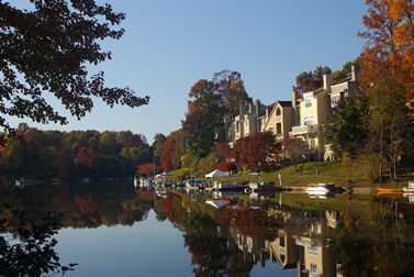
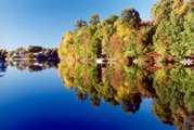
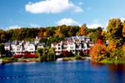
This is the second of 2 walks on
this site involving the trail along Lake Audubon. This walk will take you
along a good section of the shore line with lots of views of Lake Audubon
and a view of Lake Thoreau. The picture shows Lake Audubon in October. Click
on the picture to view the walk map and pictures of the route.